GRS provides accurate, reliable and tailored land monitoring products to respond to a wide range of mapping requirements by providing high-resolution, satellite-derived, map layers and monitoring information.
Monitoring Worldwide Environmental, Economic and Social Change
We can respond to the growing demand for land cover information by providing bespoke services using a variety EO satellite sensors and semi-automated processing steps. Together with our partners, GRS has vast experience in global land cover monitoring systems and has undertaken over 400 Earth Observation (EO) projects in more than 120 countries.
Satellite Image Analysis & Mapping
We can provide easy access to consistent, harmonised and quality-controlled land information on global scale, readily available for management and reporting requirements, made possible through a fully automated land monitoring system built on multi-mission satellite data streams.
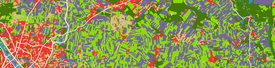
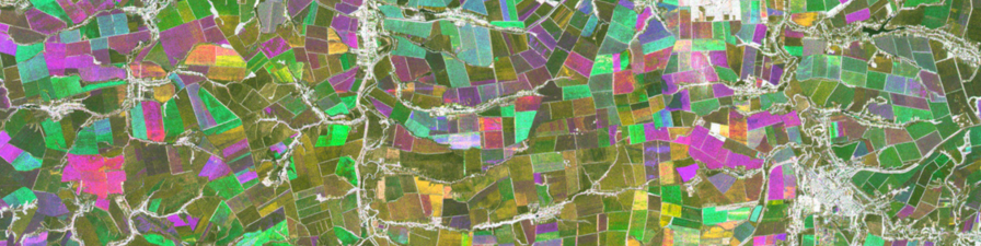
Land Use Classification & Analysis: Mapping from multi-mission satellite data streams [Img src Geoville]
Airborne Image Feature Detection
Digital orthophotos provide an excellent resource for highly detailed and accurate mapping of land features, using an object-oriented classification approach to extract user-tailored information from orthophotos and Unmanned Aerial Vehicle (UAV) imagery, such as buildings, traffic infrastructure and energy-related facilities.